Friday, June 22, 2012

Cape York - Weipa

Weipa. Now a visit to a mining town is probably not on everyone's agenda, but it suited us so we took the road across the Bauhinia Downs Station (and excellent road it was too) and called into the town.

We were expecting something a little bigger, but it offers most things (including "cheap" fuel at around $1.65 a litre) and is a very civilised stopover.

There is just the one place to camp so that's where we went. This was the sunset from the beach where we were camped.


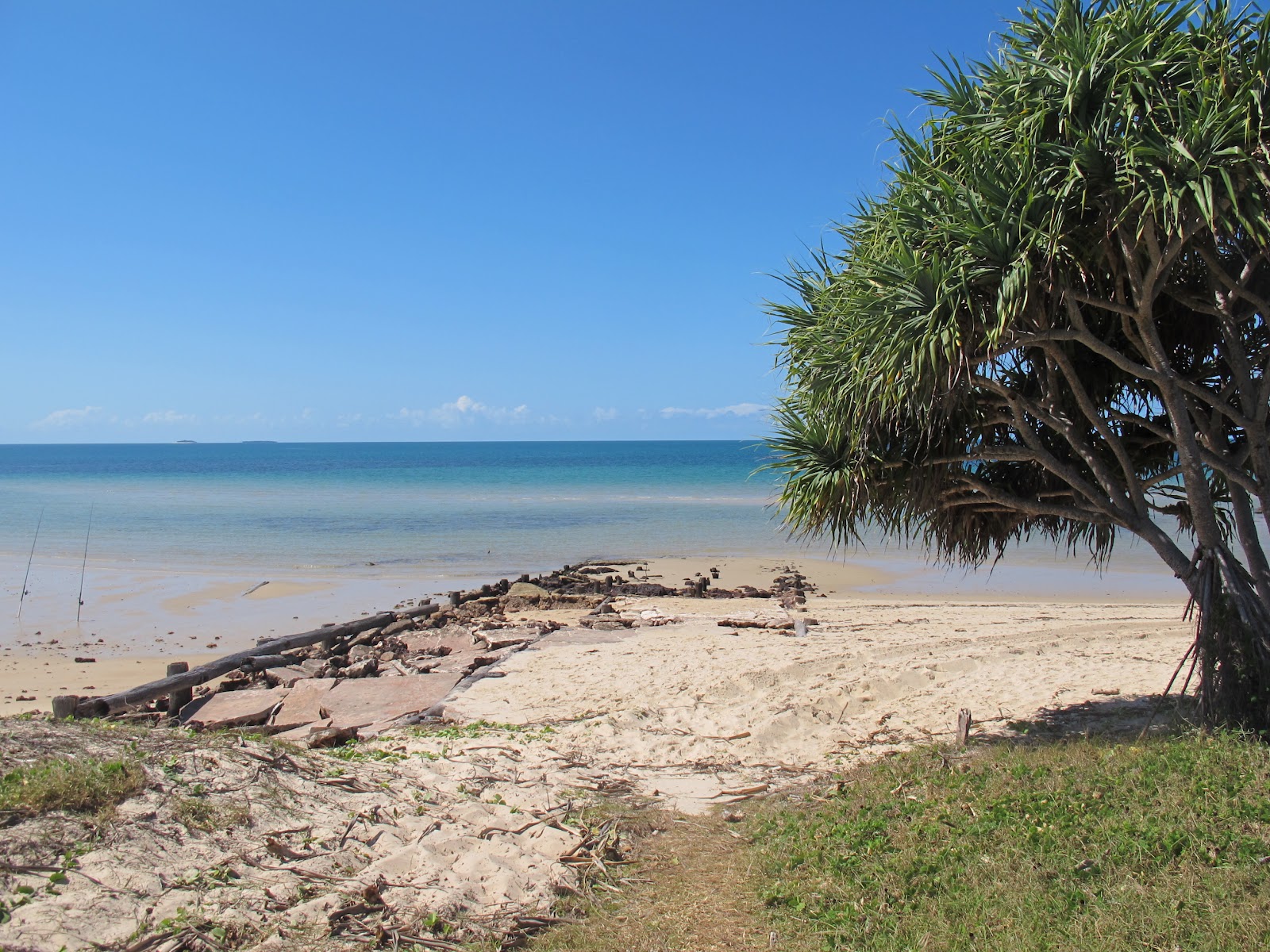
Looking down the beach


I couldn't resist just one more picture of the sunset! We had sunsets like this every night - just glorious.


While we were there we took a tour of the mine. Lots of people recommend it, but apart from being awed by the sheer scale of the operation I wasn't that impressed.

This pic shows the smoke from the burning off work they do when they clear the land - we took this photo from the beach at our camp site. It is a lot worse than it looks on this!


On the mine tour we learned that they skim off the topsoil then they skim off the 3 to 4 metre layer of bauxite before slapping the topsoil back on with a heap of tree seedlings to make it pretty again. Then they move to the next spot.

The trucks are big though!


This was a mine site - the bauxite is gone and they are about to put the topsoil back.


I told you it was boring didn't I?

We headed south then, back to Cairns to get our Patrol fixed. I was running like a dog after the Steinbauer chip was fitted.

On the way we passed through a town named after out little girl!


It isn't a big place, but it was pretty enough,

Cape York - Heading South

Leaving Bamaga and taking the ferry across the Jardine again, we headed south. Our initial plan was to get onto the Tele Track and camp near Gunshot Creek to see if anyone was brave enough to try the old crossing.

This was the track into the Tele Track.


Right where the access track and the main drag meet though was a marker telling us that this was the place where an early explorer made camp and it was the last place they were known to be before they all disappeared.


It didn't have much of a pretty outlook did it?


When we reached the Tele we headed down to Gunshot but we found a number of people heading north and on a narrow track someone has to give way. This pic shows what happens when you lace your wheels too close to the edge of a washout - yeah, I dropped the wheels into a ditch and couldn't drive out. I needed to be snatched out by Greg in his Toyota.

Embarrassing.


This is a view of Gunshot and, as you can see, the creek is shallow and the chicken track is easy. No challenge at all. Where the red shirted person is though is the old access track and that looks very difficult indeed.


Bramwell junction - we were to stay at the Bramwell Station campground again, but before we got there we had a photoshoot thing again.

These termite mounds are opposite the junction roadhouse and I thought that I'd post these for the non-Australians to show them what a termite mound looks like.


The start of the Old Telegraph Track!  :)


This is a view of the Bramwell Station bar/restaurant. It is MUCH better than it looks at first.

Cape York - The Tip

Well, we left Eliot for a day trip out to the Captain Billy Landing. We thought we'd do it as a day trip as it is supposed to be SO windy there it is difficult to camp.

The drive was easy enough as the track there is a good one - check it out . . . .


Here are a few views of the Landing itself - the first is from where the road pops out of the rainforest.


As the tide was out we took a walk around the headland.


This is one of the sea caves there - check out the moss growing down from the ceiling. Maybe it is a type of seaweed, but it loks like moss.


The track back - this is just where the rainforest gives way to a sunlit meadow


. . . . . and this is the meadow itself. How can the vegetation change so dramatically so quickly?


We left the Eliot Falls camp the next day and headed out. I thought I would take a picture of the track to remind me of how rough it can be.


Oh yeah - I also got Greg to photo us driving the water crossing.


Before we reached the Jardine River Ferry we drove across to the final creek crossing on the Tele Track - Nolan's Brook. This is a picture of it. By the time we left there had been 56 cars drowned and killed, and recovered by the guy in Bamaga, trying to cross this.


This was one guy that we met there who had drowned his 80 Series turbo diesel. He simply got his friends to drive into Banaga, buy a new piston and con rod and bring them back and he fitted them at the track side. Gutsy mechanic work!


Nolan's has a pedestrian bridge built of three tree trunks laid across it. Not for the nervous!


At last we reached the ferry, only to find it closed for lunch.

<sigh>

Still, it delayed the $88 fee for a while.


So, do you think it is worth $88 to use this ferry?


We camped at the Loyalty Beach camp area and headed on to the tip itself and here is the proof!

We walked around the beach area (the tide was out) to get there.


We passed mangroves along the way


The we started to climb over the headland itself


We found the tip below us, looking out to a couple of islands


And then we were there!


On our way back, and after seeing the famous Croc Tent, we took a look at Punsand Bay.


Back at camp we also found a Northern Kookaburra. Apparently they don't "laugh" like the southern birds, but their wings have iridescent blue feathers.


Oh yeah - the area north of the Jardine is simply infested with wild horses. These were grazing near our camp site.


Cape York - Eliot, Twin and Fruitbat Falls

We left Bramwell Station and then refuelled at Bramwell Junction which is the start of the Old Telegraph Track.


One regular casualty is a vehicle's numberplates and the Junction Roadhouse has a selection of them nailed to a tree.


We then headed off up the Tele to see how far we would get. The answer is not very far! The first creek crossing is Palm Creek and while the water is not deep the approach and exit tracks are wet, muddy, slippery, steep and generally damned difficult.

Check out the pics below and note that only one vehicle made it through without needing to be winched - that was a Patrol with a big lift, double locked and wearing Centipedes - all very serious gear indeed,


This particular dickhead attacked the exit repeatedly and ended up breaking his steering.


So, we continued up the bypass road and then turned in to the Eliot Falls camp ground. The track in was rough and this crossing was one of them on the way in.


We got to the Eliot Falls campground and found that the QLD Nat Parks people had stuffed up our booking (no big surprise) and ut all four of us on a site that was barely big enough for two tents. I called them on the satphone and spent $25 in call fees while they stuffed around (and ultimately stuffed up again) re-organising things.

Still, the falls were spectacular:

Twin Falls - these are probably the most well known of the falls and they provide a brilliant swimming hole with the clear green water and the falls themselves.

Take a look and enjoy!


This was the fall that takes the water out of the swimming hole.


Just to give you some perspective, this is Karen heading in for a swim.


I enjoyed the massage effect from the falls themselves!


I wonder if Hugh Jackman is worried about his "Sexiest Australian Man" title now?  Hmmmm?


Eliot Falls were a short walk away and we were very impressed with them.


This is the view upstream and while most of the water is just six inches deep over the rock you can see where the deeper holes are to be found - and we found them!


Yep - these are the deeper holes in the river bed and they were ust so refresshing to swim in.


Fruit Bat Falls were a bit of a drive away and look to provide an even better swimming hole, but we didn't bring our togs so no swim that day.

Pretty though eh?


One of the days we went to drive further p the Tele Track and we came across some of the creek crossings. The first one was Sam Creek and we both took a drive through the water there.


Having seen Greg fall into a bit of a hole I stayed closer to the right hand bank and walked through the crossing easily.

Cannibal Creek was the next one and driving across the rock was simple as.


Sadly, after that the "girls" decided that we had done enough scary river crossings and insisted we went back to camp and the waiting beer and wine (and vodka) for the evening.